Holz Hafen
Holz Hafen
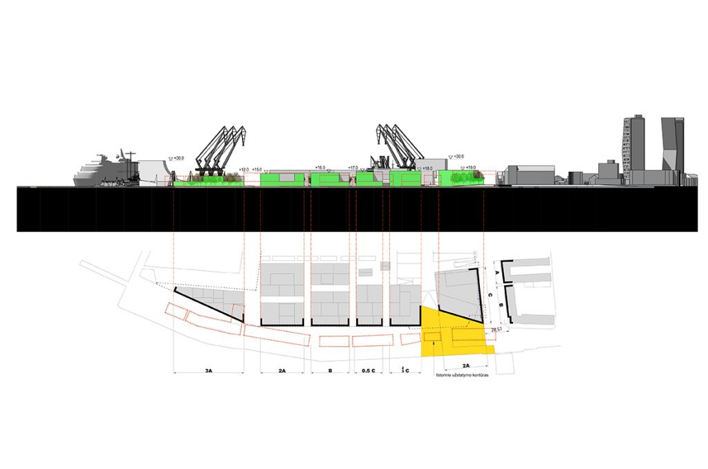
The scale of the urban structure of the planned territory, the sizes of blocks and public spaces were selected after evaluating the scale of the nearby territories – the historical part of Klaipeda city (old town and new town). The projected urban structure on its scale is intermediate between the old town (smaller quarters where it is difficult to implement quantity requirements) and the new town (larger quarters where the challenges in the use of the inner spaces is usual).
As the area has historically been formed as a port area that has been adapted for loading and storage, any rational building structure has been formed in the area. A clear building perimeter was formed only on the waterfront of the Dane River.
- Location
- Klaipėda
- Stage
- Project
- Category
- Urban Regeneration
- Area
- 90 900m²
- Client
- Private
- Authors
- Edgaras Neniškis
- Artūras Kazickas
- Ernesta Bagužaitė
- Arūnas Liola
- Rolandas Liola
- Tomas Grunskis
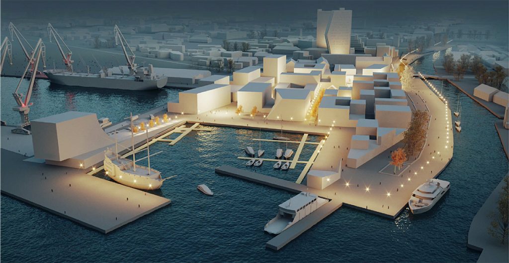
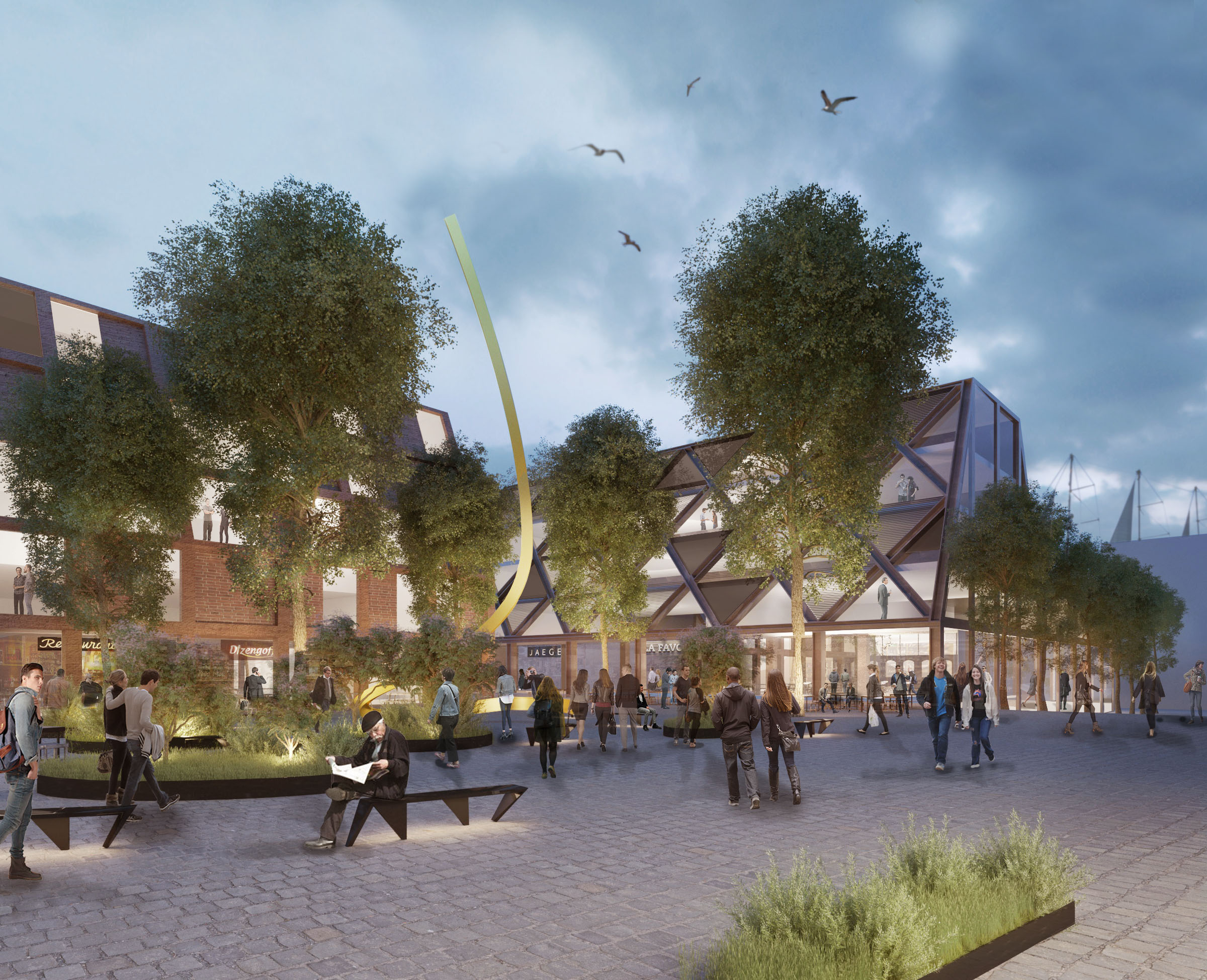
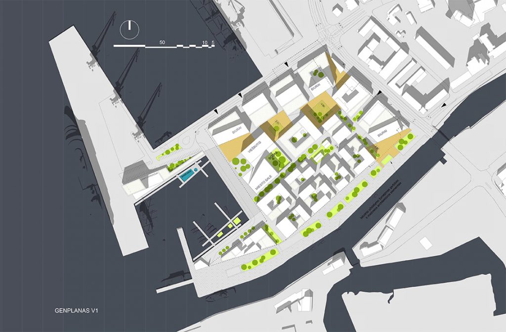
The extension of public spaces from the historic city center towards the Curonian Lagoon is being formed in the site. The functional core of the planned area is formed by office buildings surrounding public spaces. Taking in account the special status of the territory and its potential, local authorities, public enterprises, multipurpose event hall are planned.
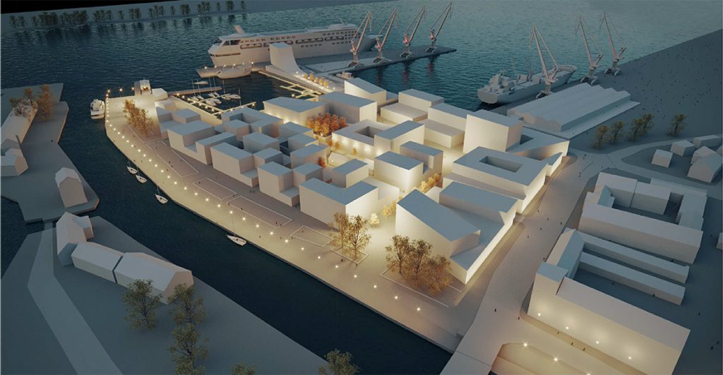
Design
Three main connections of public spaces with nearby territories are planned: entrance from Naujosios Uosto str. and Naujosios Sodo st. intersection, entrance from Naujojo Uosto str. and Danės st. intersection and entrance from the Curonian Lagoon (port) side, which is mainly intended for passengers arriving by cruise ships, as well as customers of the planned hotel. Expanded urban space is designed to emphasize the planned administrative building which could be occupied by important administrative institution of the city. . .
The site is developed inserting the historical signs of the former area such as historical buiding structures, tree alley of the Interwar era leading from the port towards the main city square.
Zones of the city’s visual identity were identified in the layout scheme of Klaipėda city high-rise buildings. . . .
